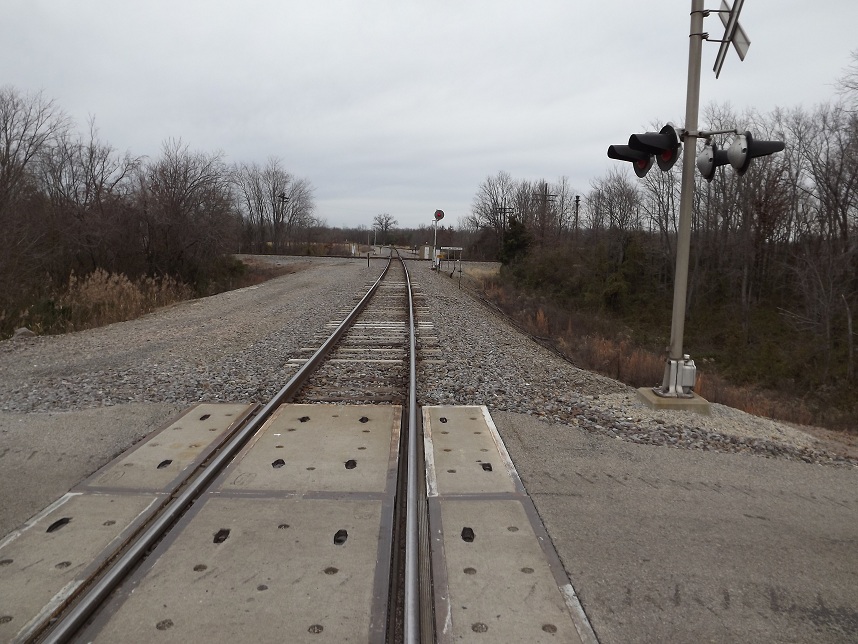
Looking North on the BNSF st the Woodlawn diamond the BNSF siding is further north around the curve.

Looking North on the BNSF st the Woodlawn diamond the BNSF siding is further north around the curve.
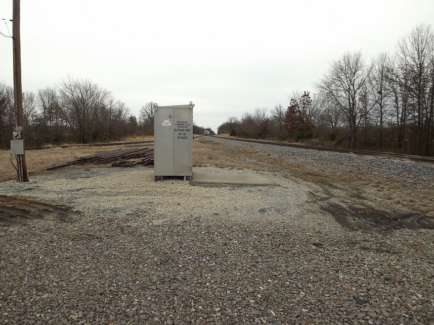
Looking south from the same location. The interchange track is to the left, with the hoppers, while the to the right is the BNSF main to Paducah.
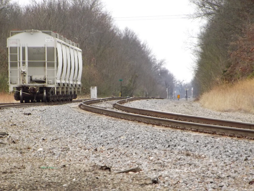
Zoomed in view of the connection between the BNSF and the EVWR.
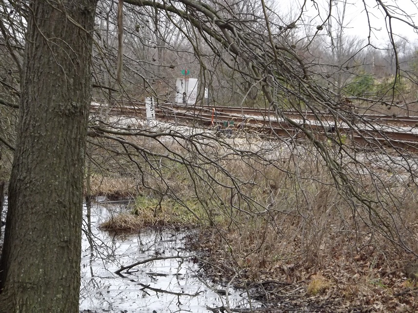
At milepost 415.1 the route to the left is the BNSF interchange. Going to the right is were the passing track rejoins the main line to cross the BNSF diamonds. The location is marked on my maps as the city park and it is rather rough looking for a park.
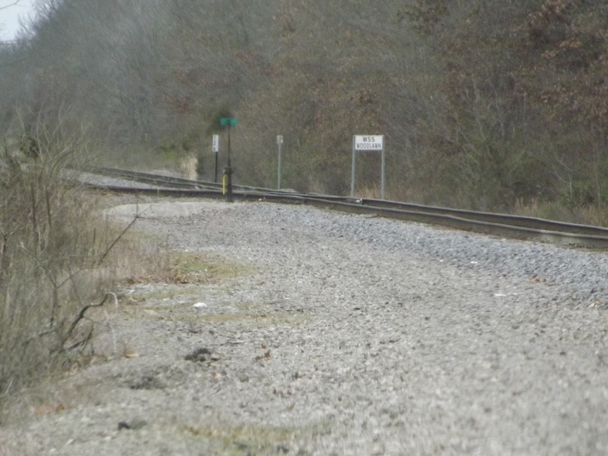
BNSF passing track north of town looking from the grade crossing south of the siding but north of the diamonds. Both can be viewed from the road but not at the same time because of the curve in between.