featuring the bridge project
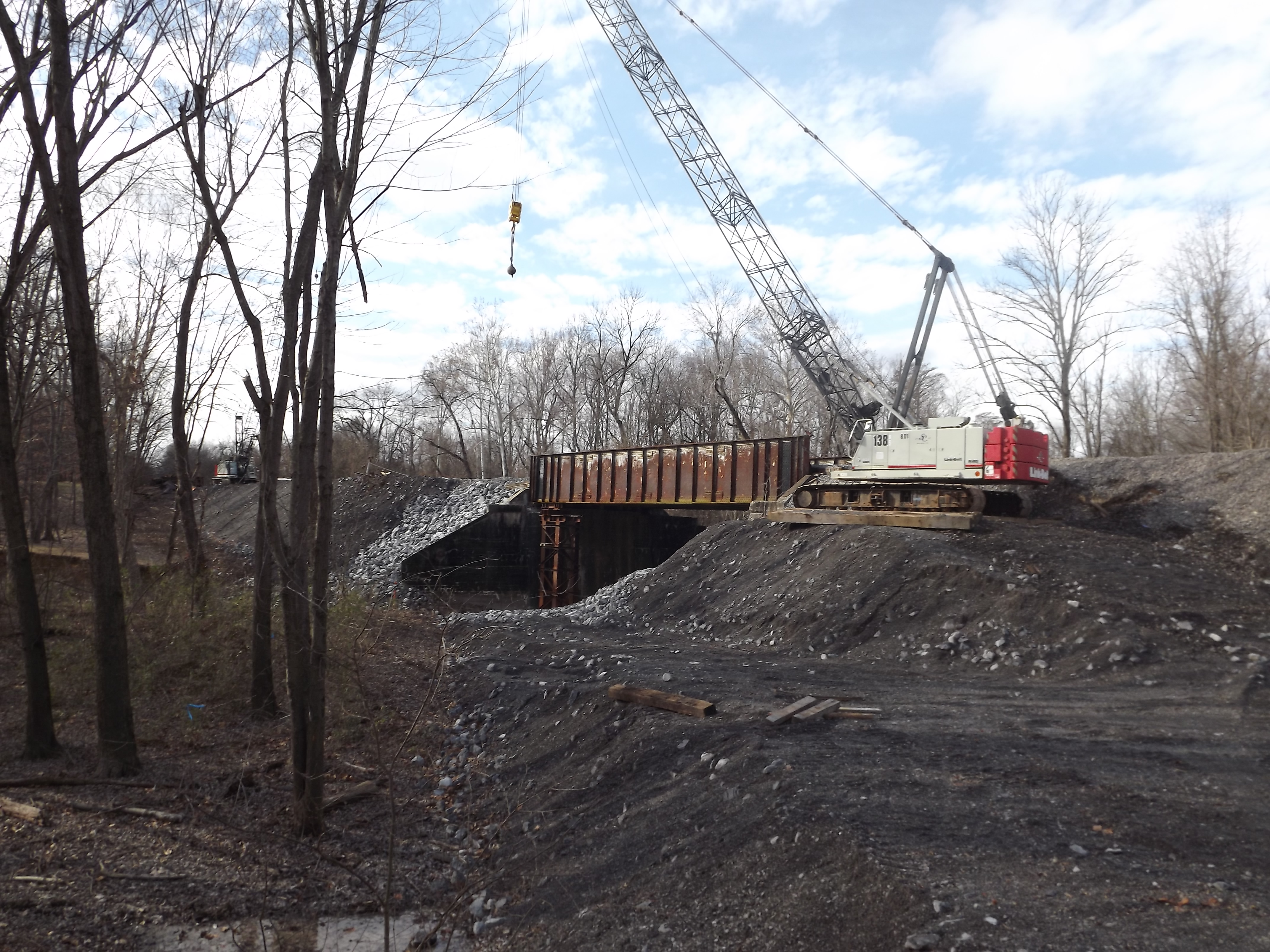
Looking at the bridge project from the road that goes under the tracks and continues on to Calvert City and CCT
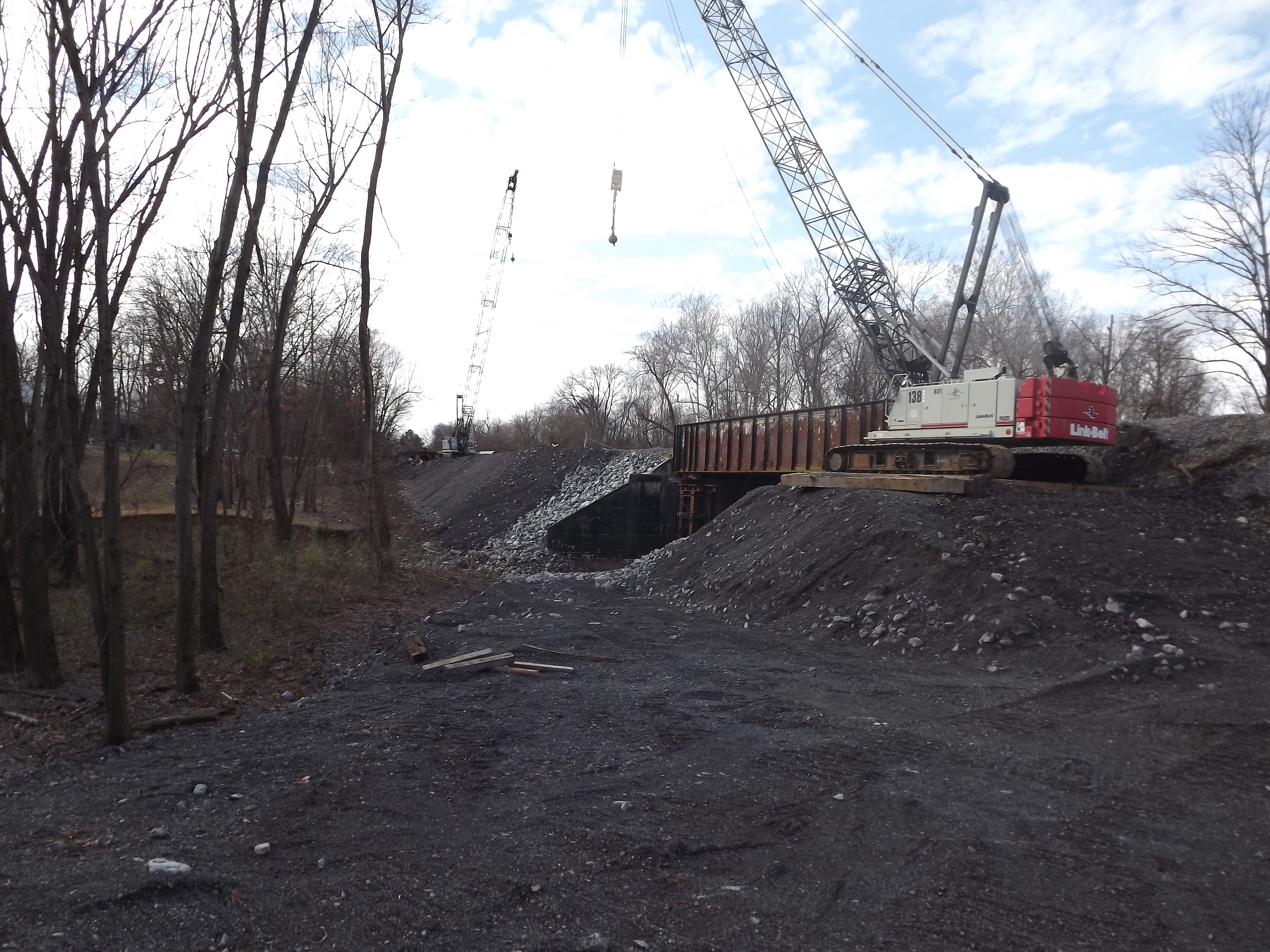
view of both cranes
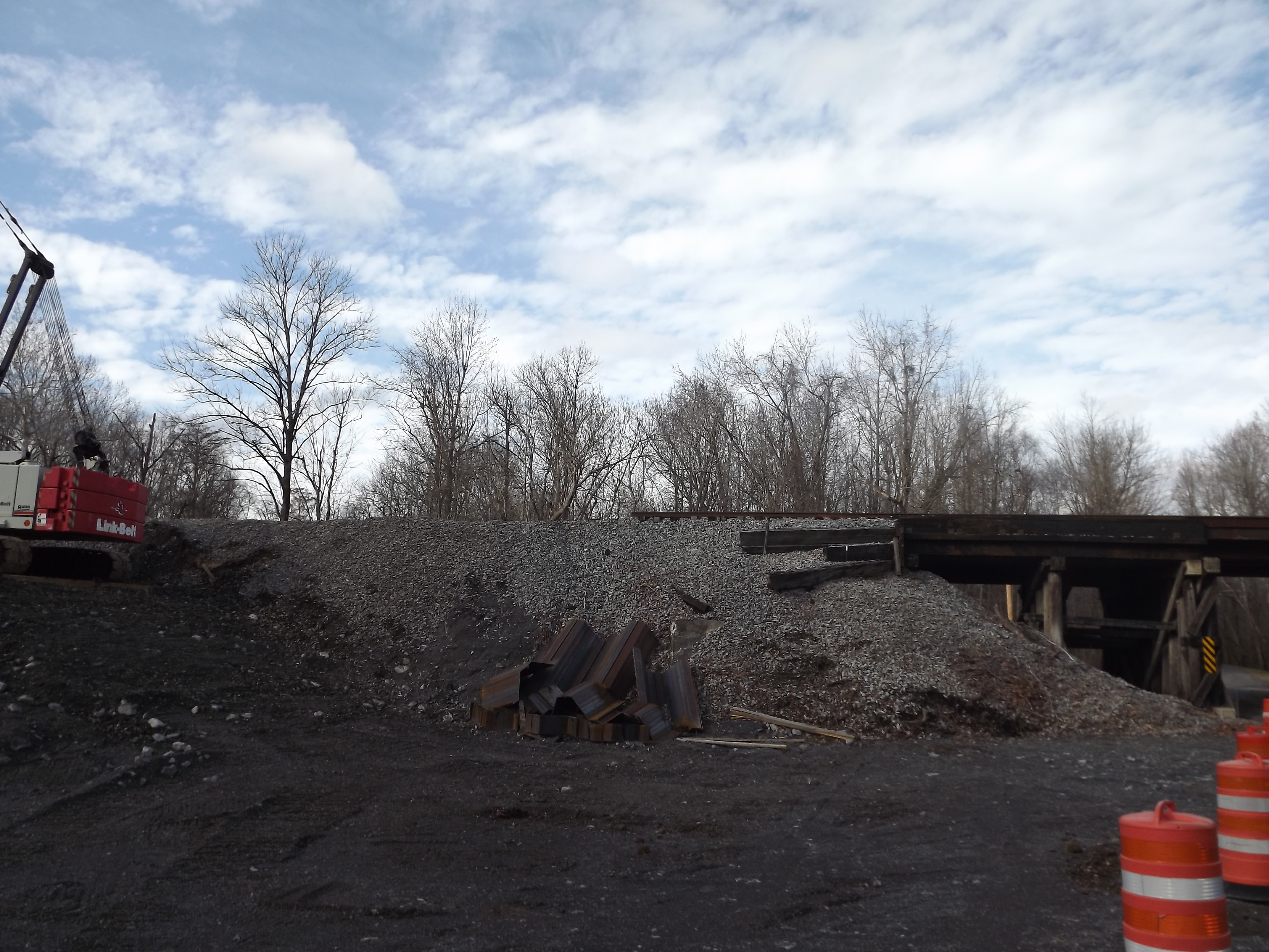
End of the line, the bridge under the tracks is on the right edge
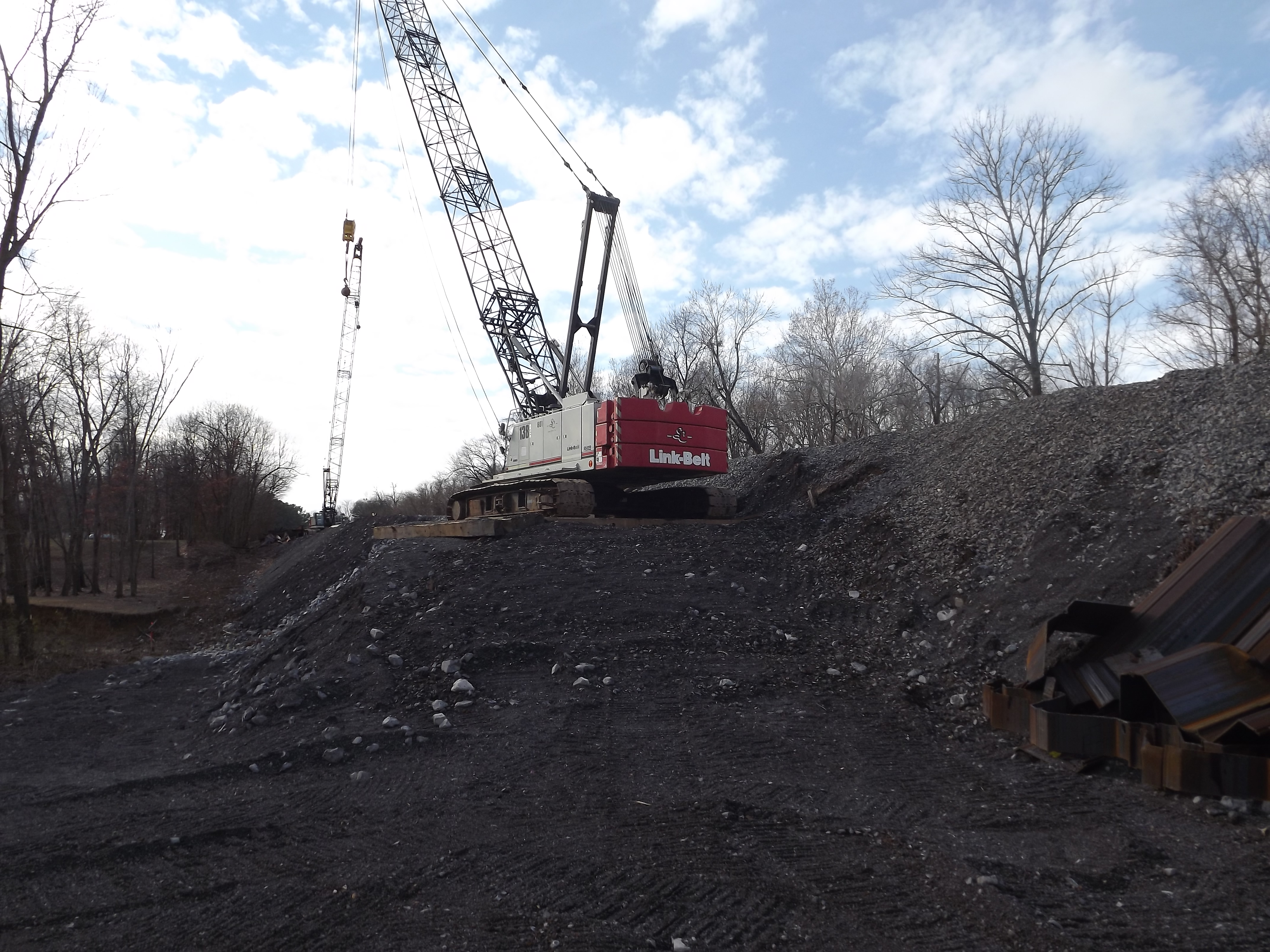
Crane and pad, note the contractor is Jim Smith contracting, which was owned by one of the PAL's original owners.
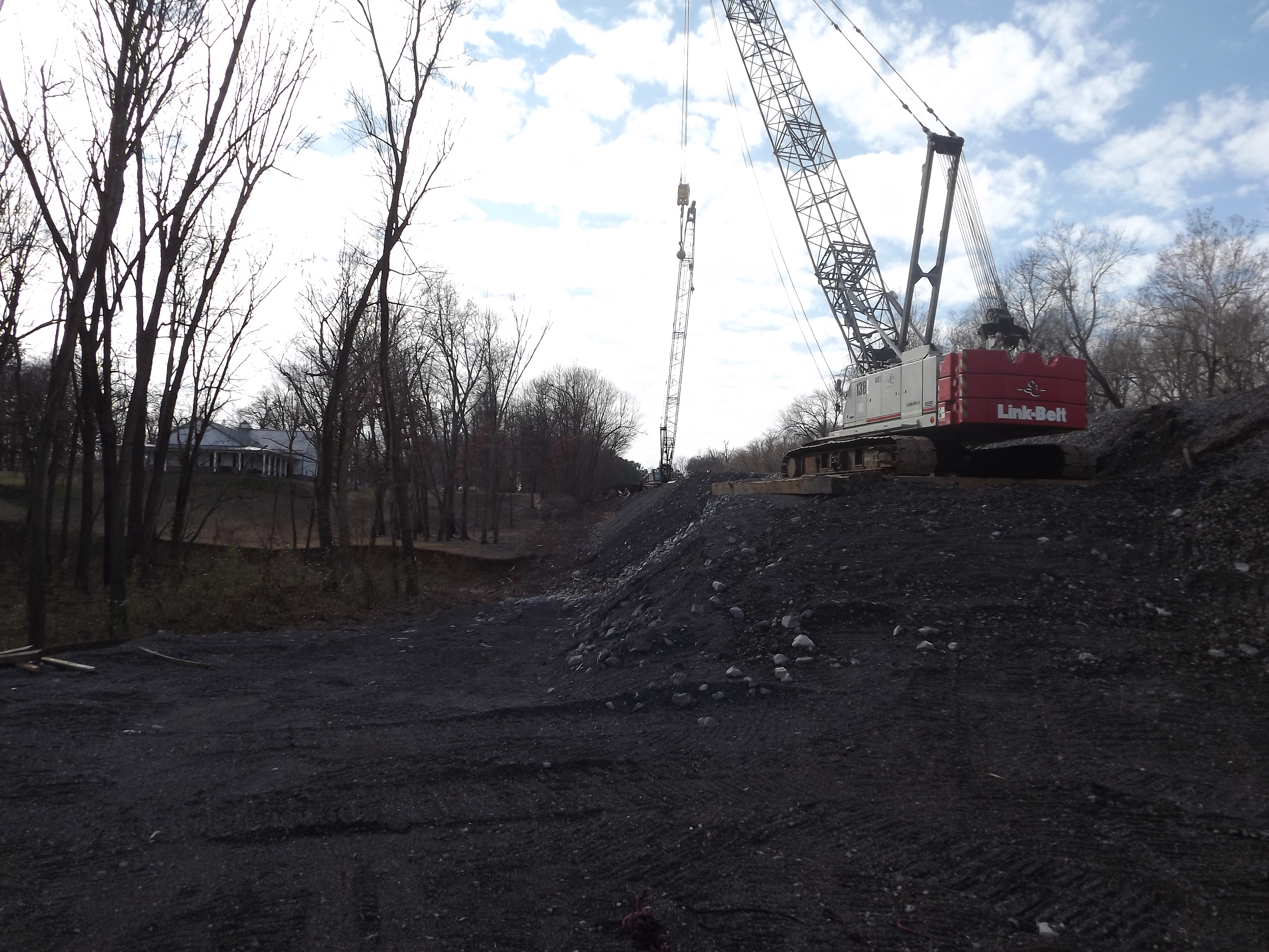
looking at the pads on both shores
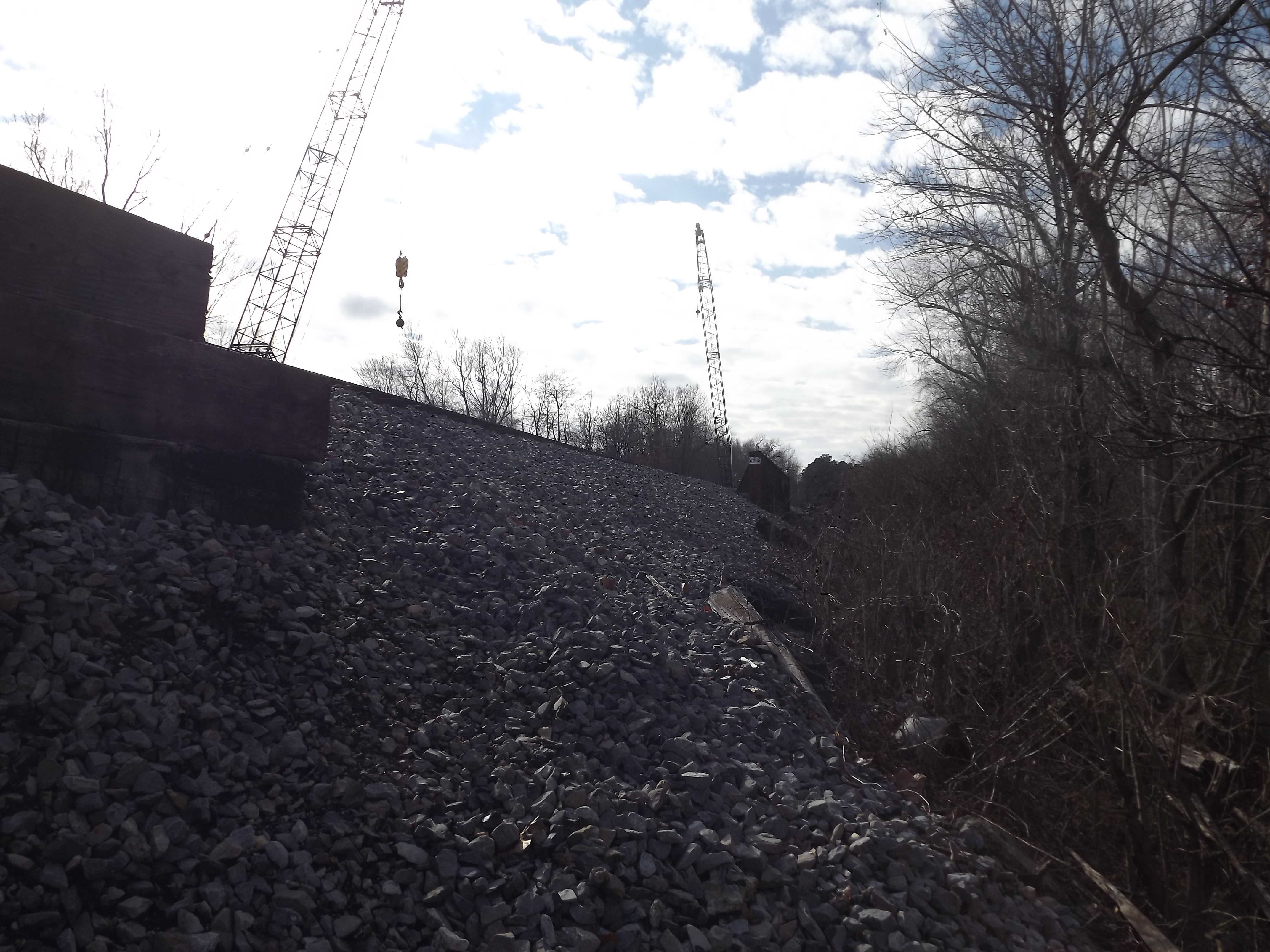
the other untouched side with the active mainline
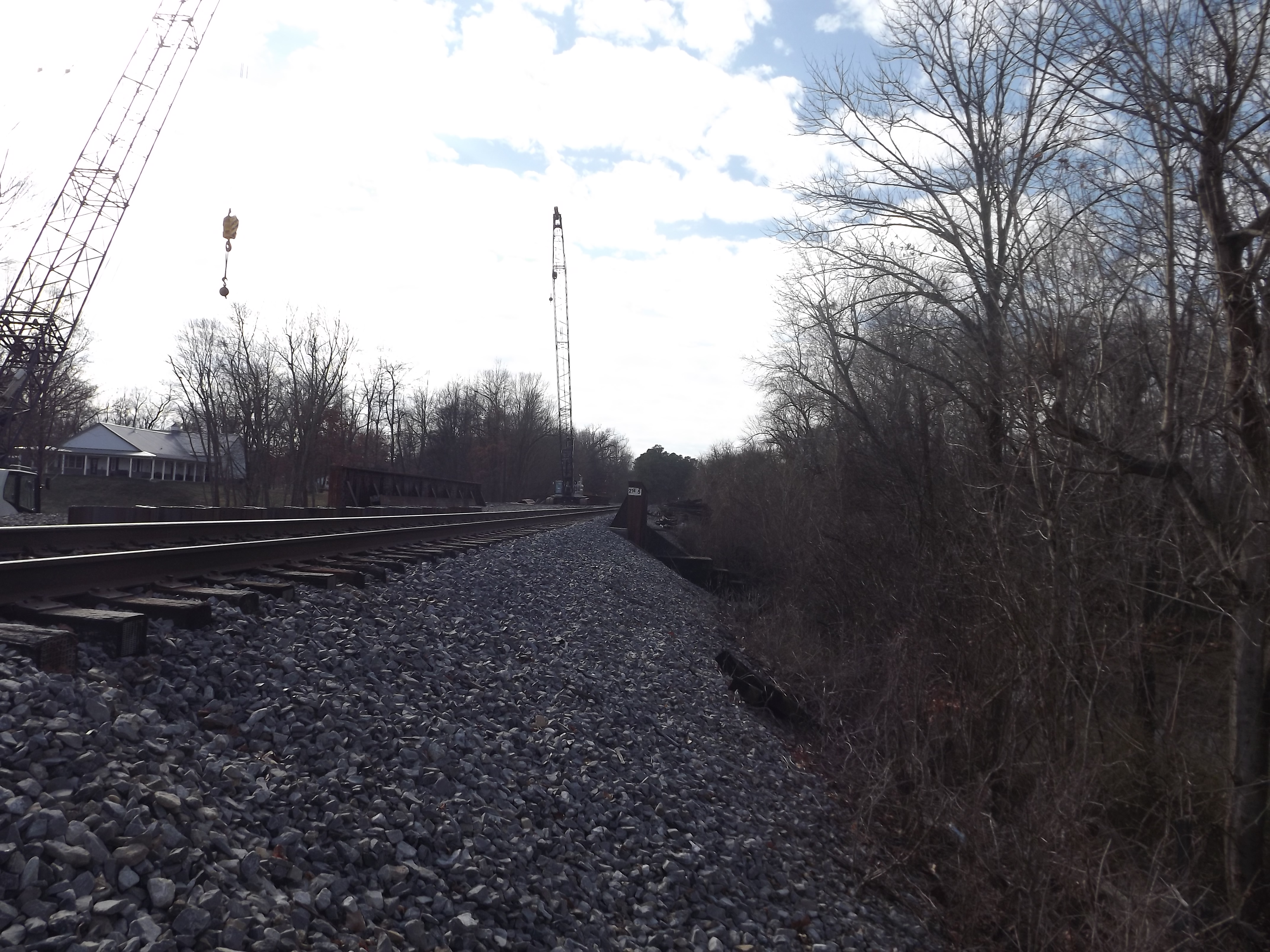
stood on some stuff trackside to get this view from the road at the underpass, best view shot I got. Note the sheet pilings between the mains and both bridges.
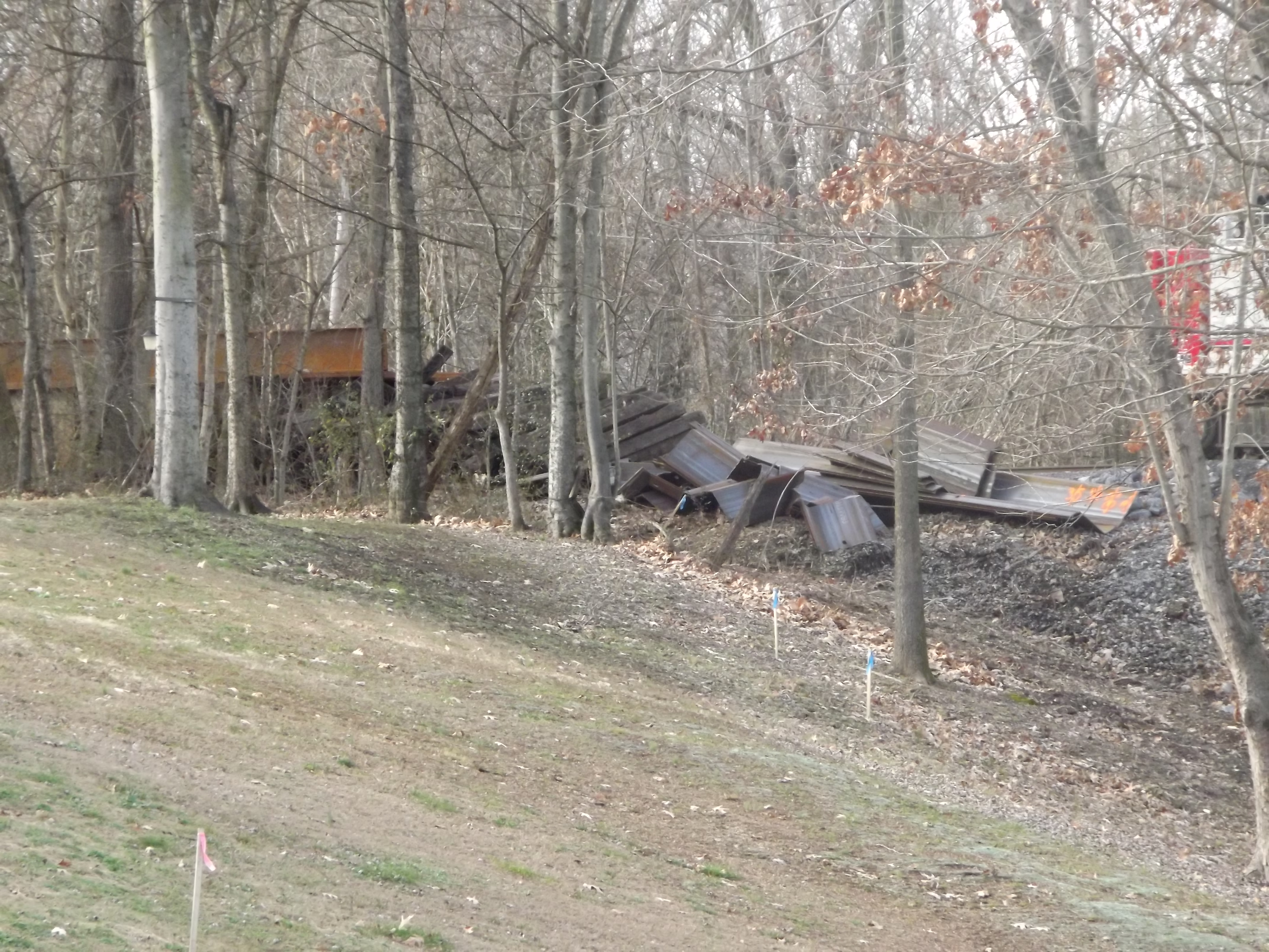
cut off piling parts, again good use of the zoom as the property between the road and tracks was posted but the lenses had no issue peeking.
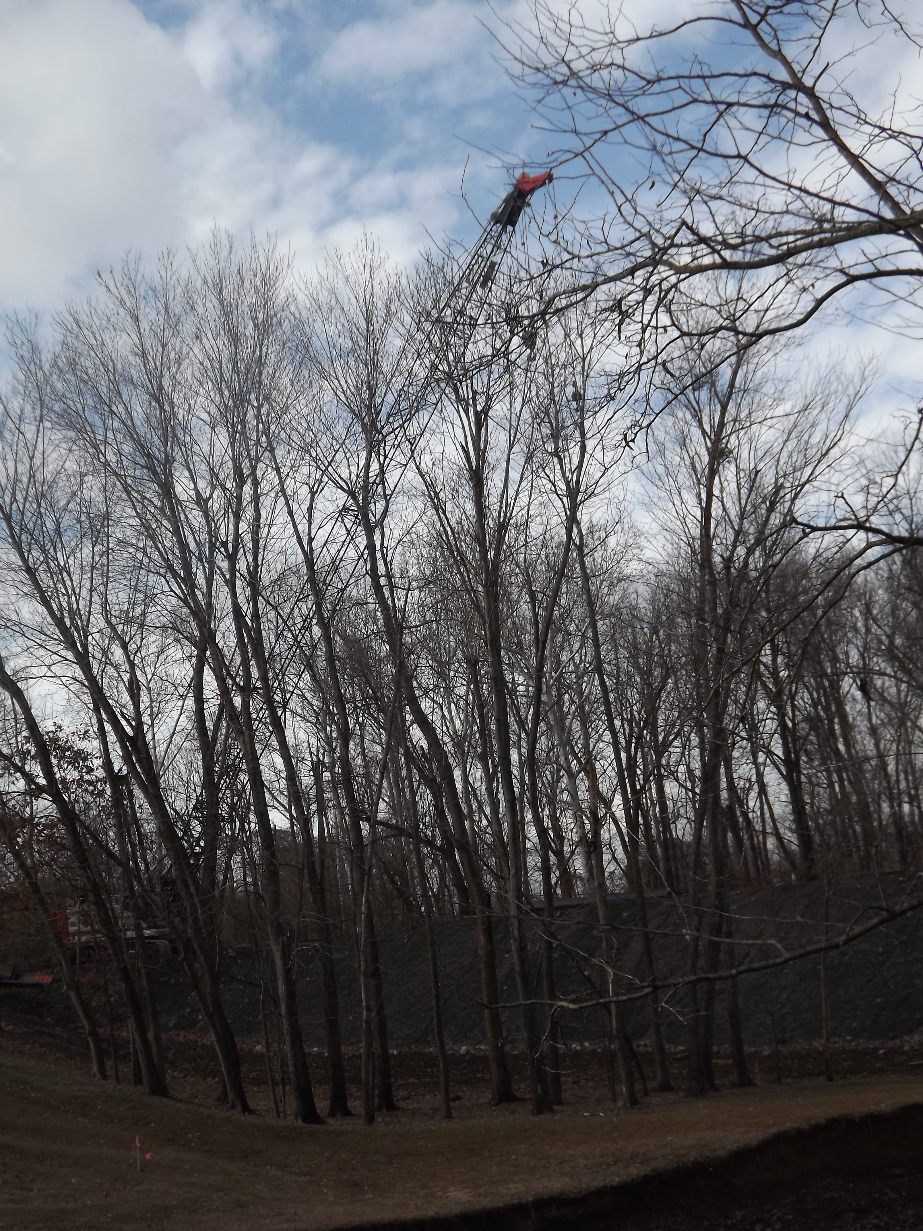
The far crane from the road at or near the new road bridge
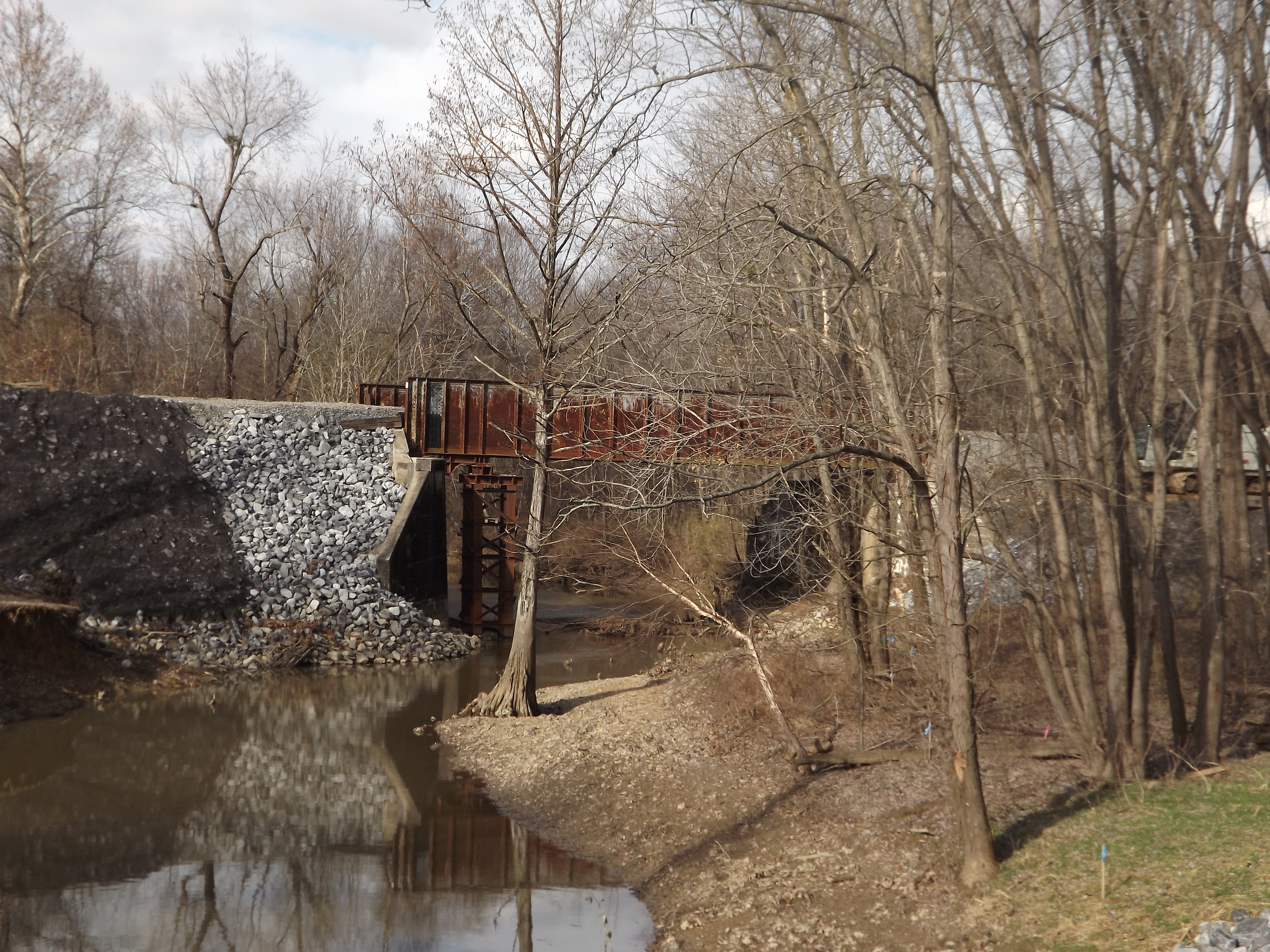
Old bridge, note the fill and the peer in the water, I don't recall that peer being there before, ether. I wonder if they had a washout here too?
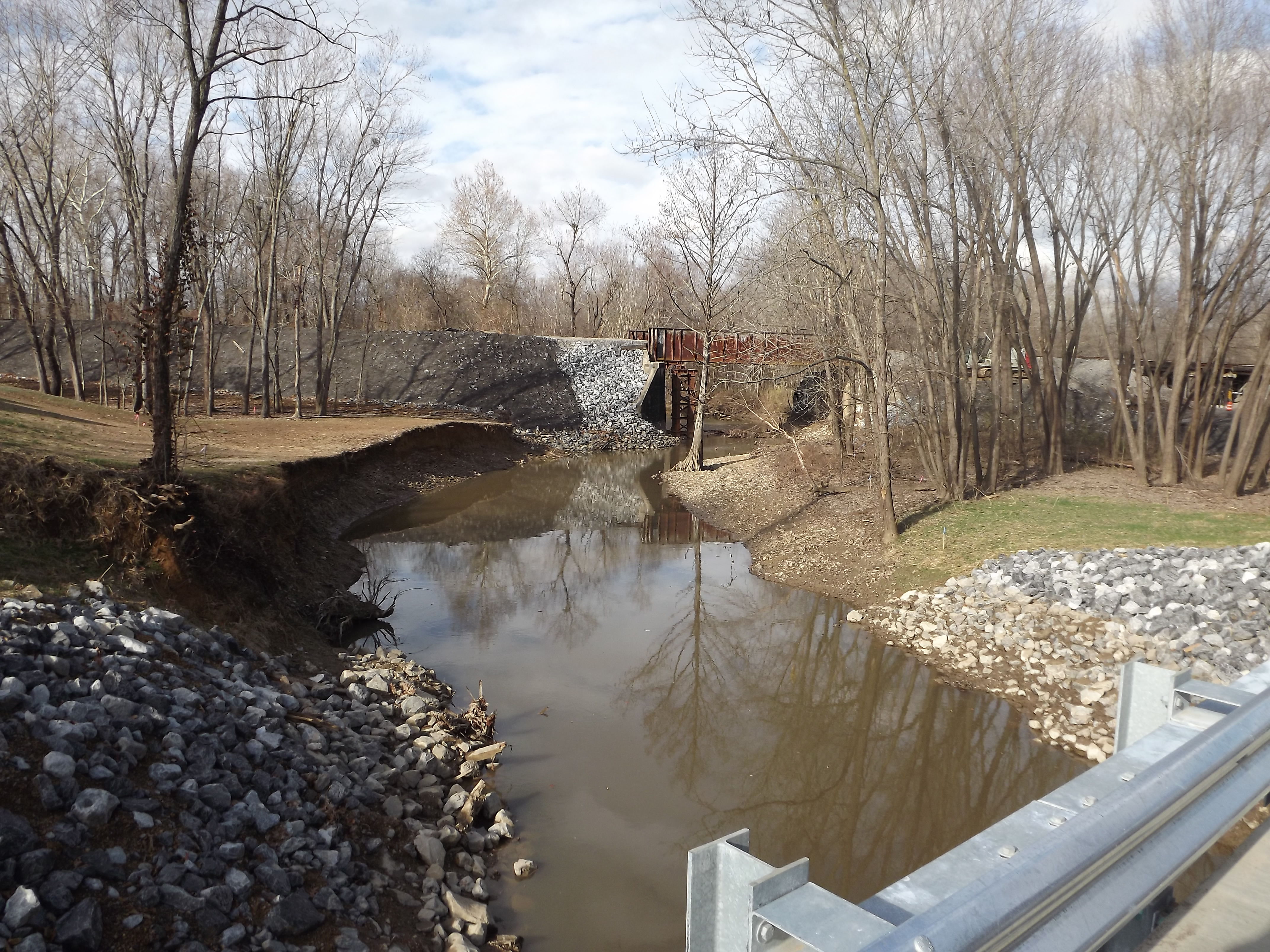
What the normal perspective of the bridge looks like, note the location of the picture is on the new road bridge if your wanting to look for yourself. The far right is the road underpass.
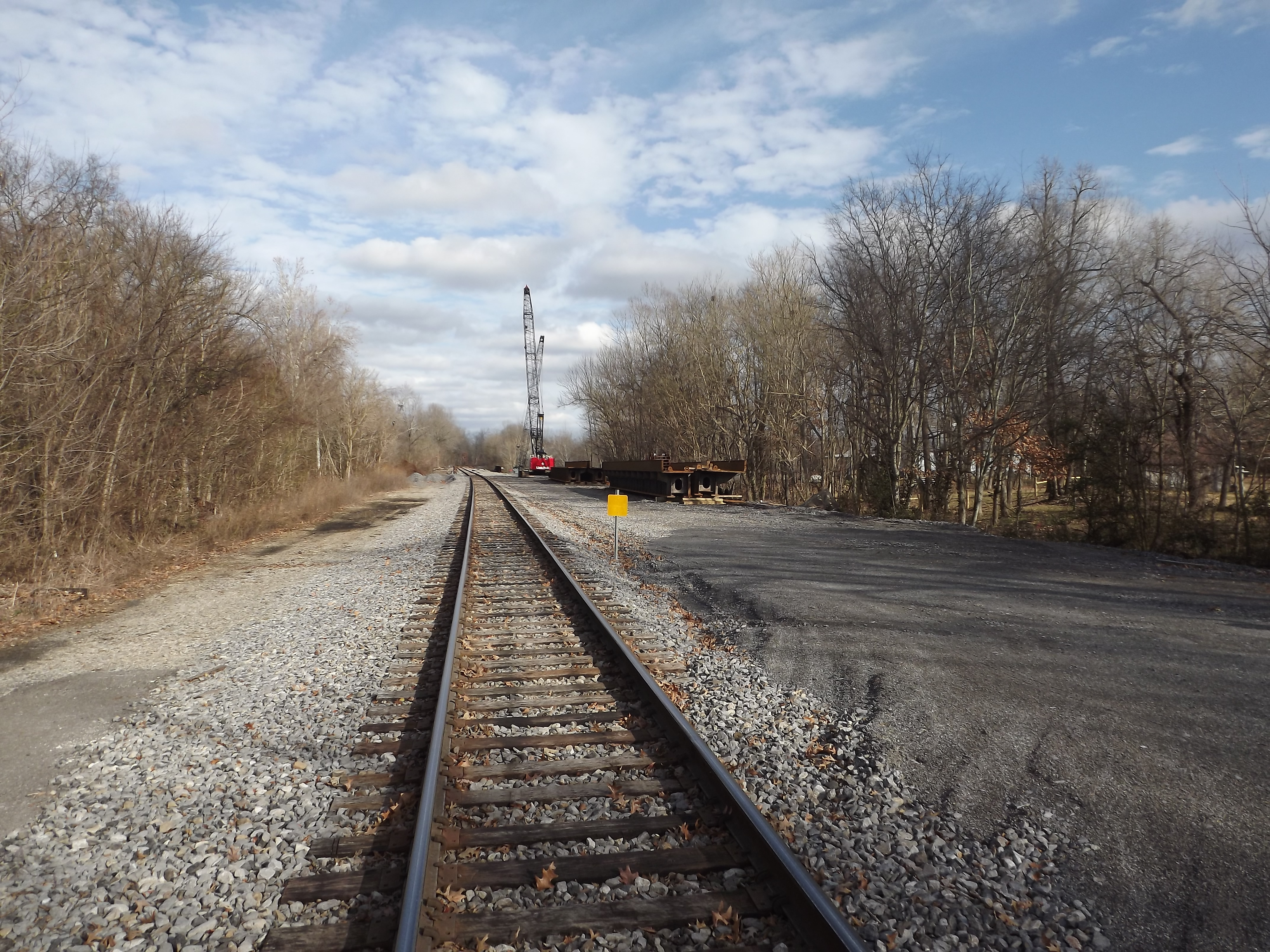
From the only grade crossing in the community, a general view.
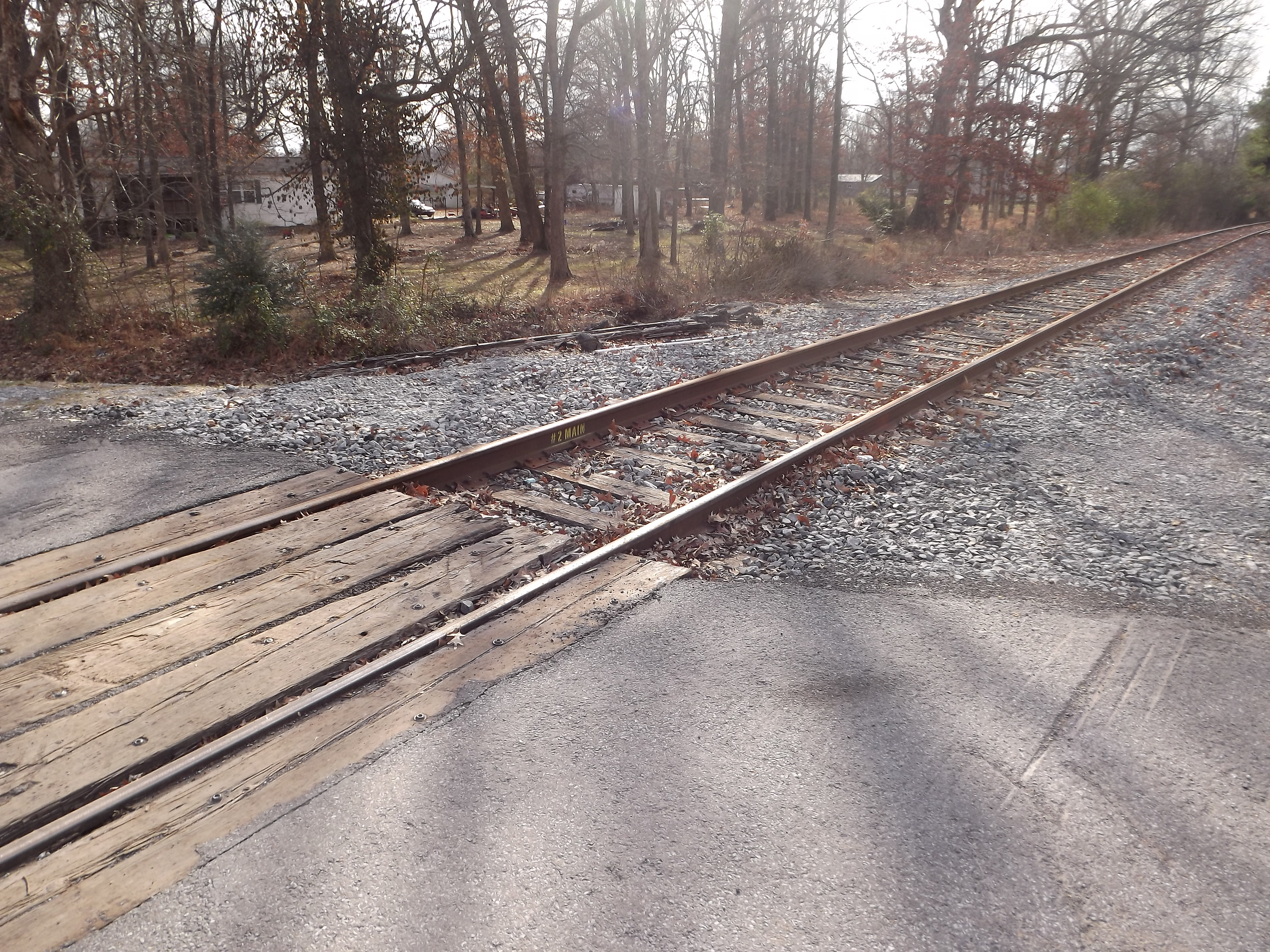
Rusty #2 main and the crossing
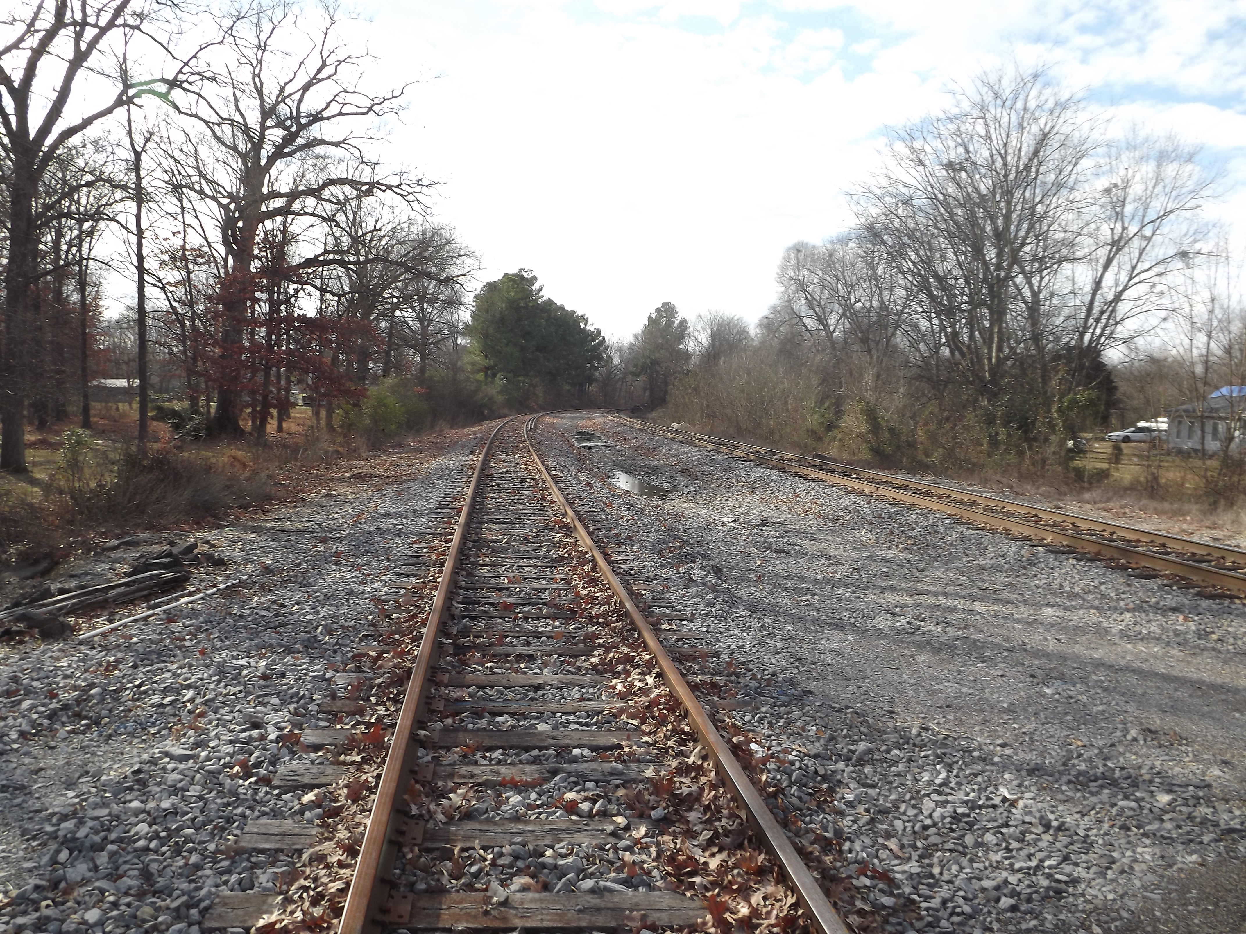
looking towrds Paducah, I asume that rail is from "the gap"
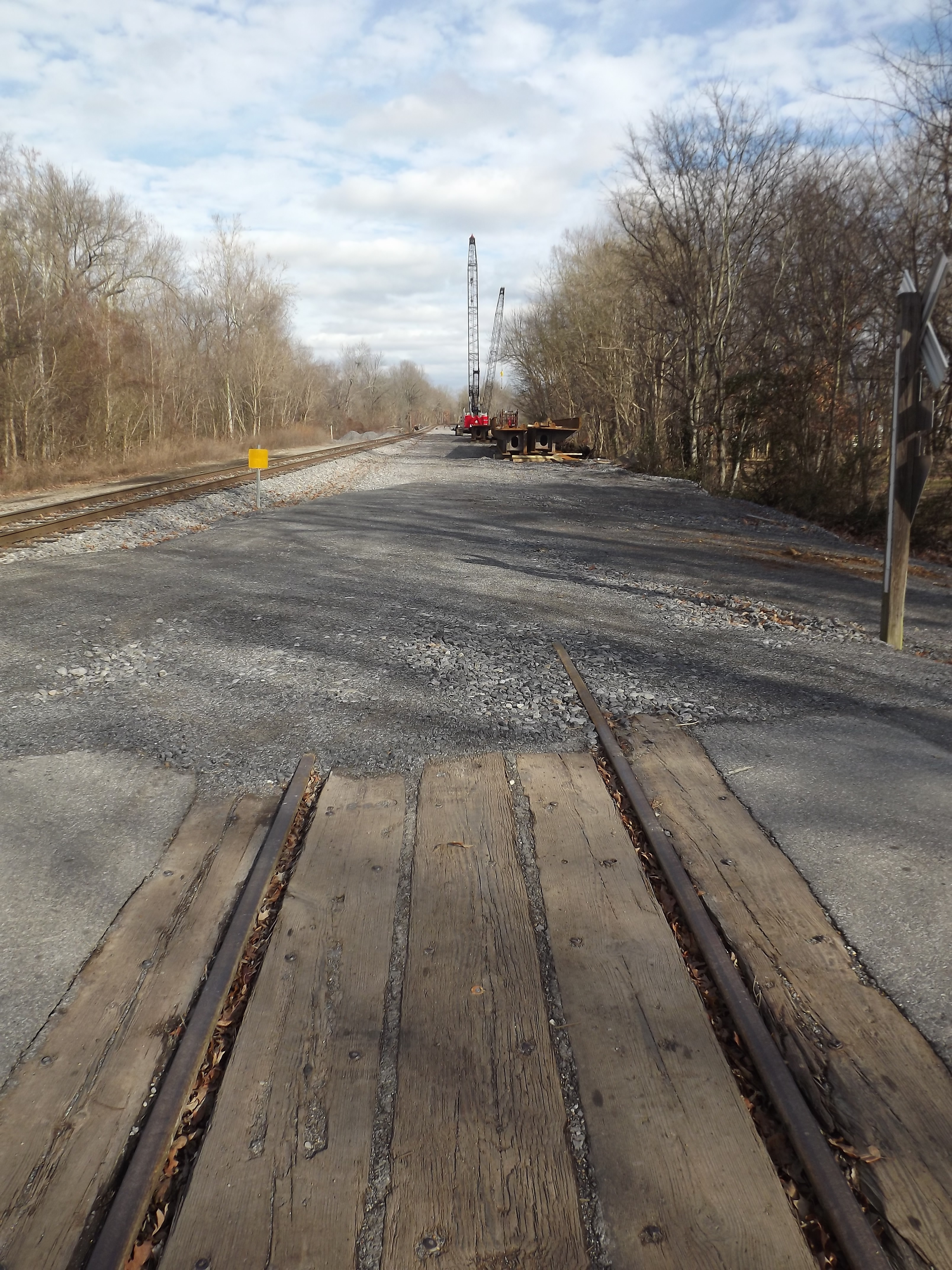
Were the rail ends I’m not sure, if it ends at the railhead or if the rail continues a bit and is buried under the rock. Note the four "half" width bride sections.
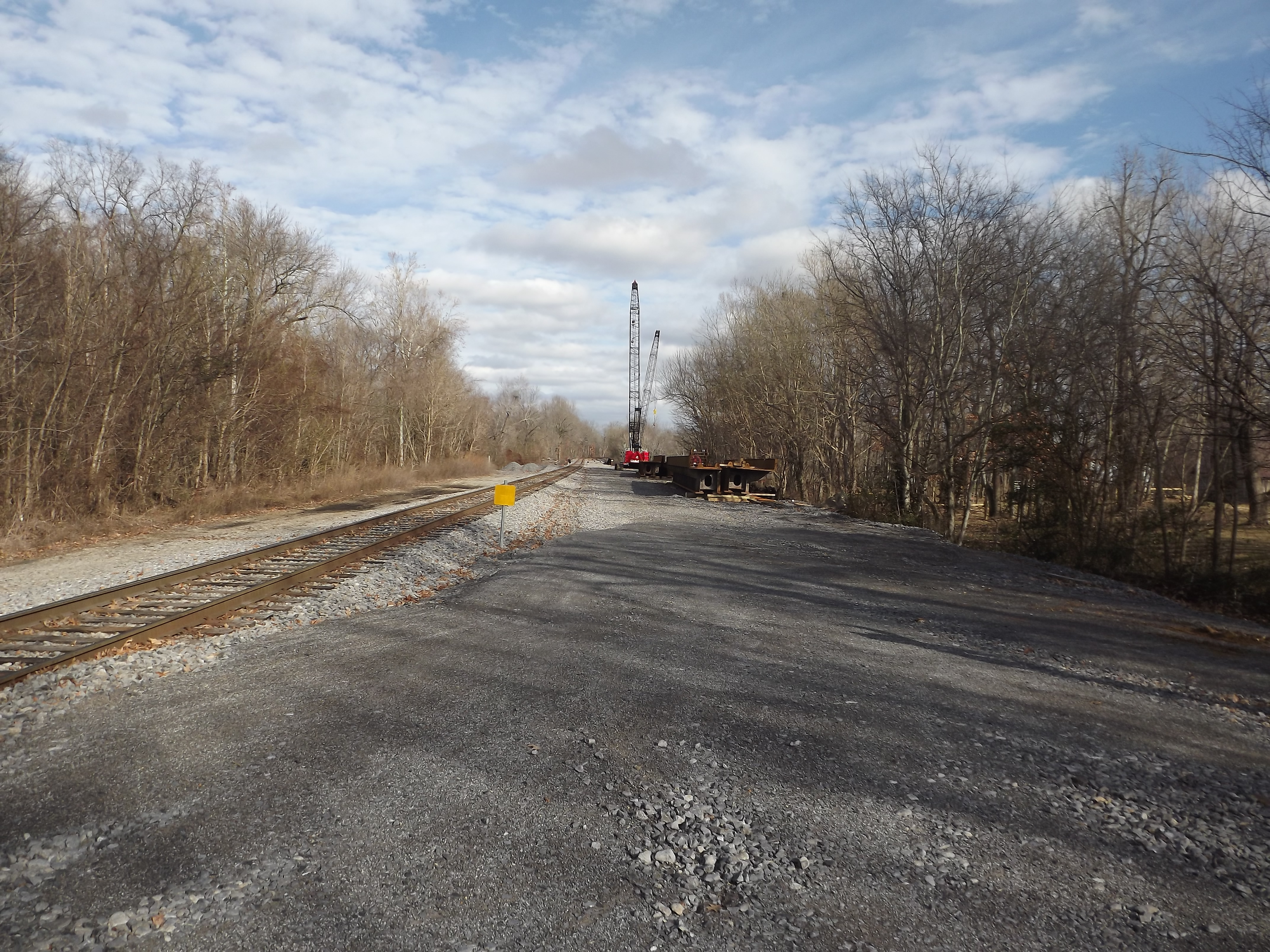
zoomed in a bit to get a better look at the worksite
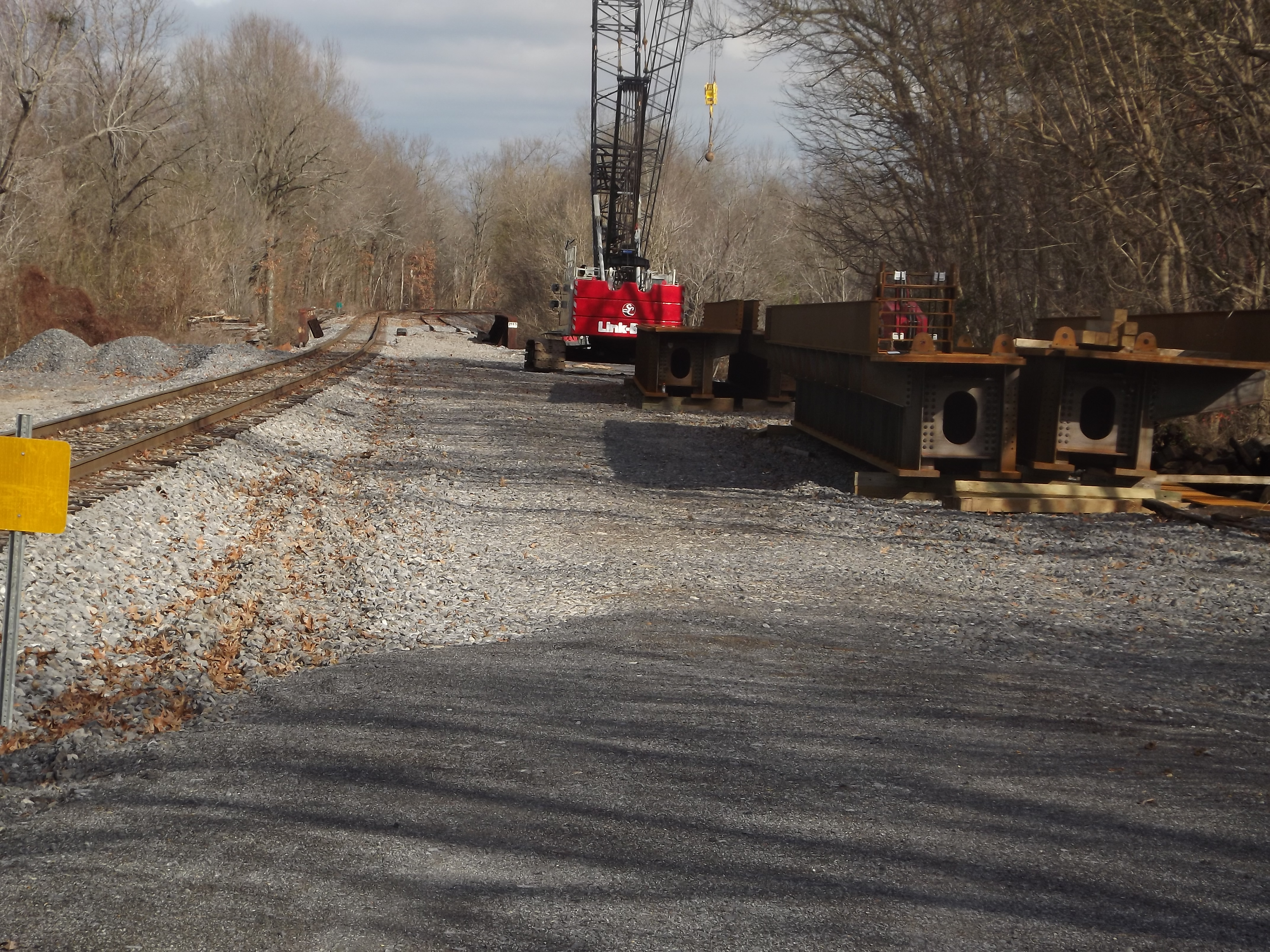
moderate zoom, showing the half bridge sections and the back of the crane
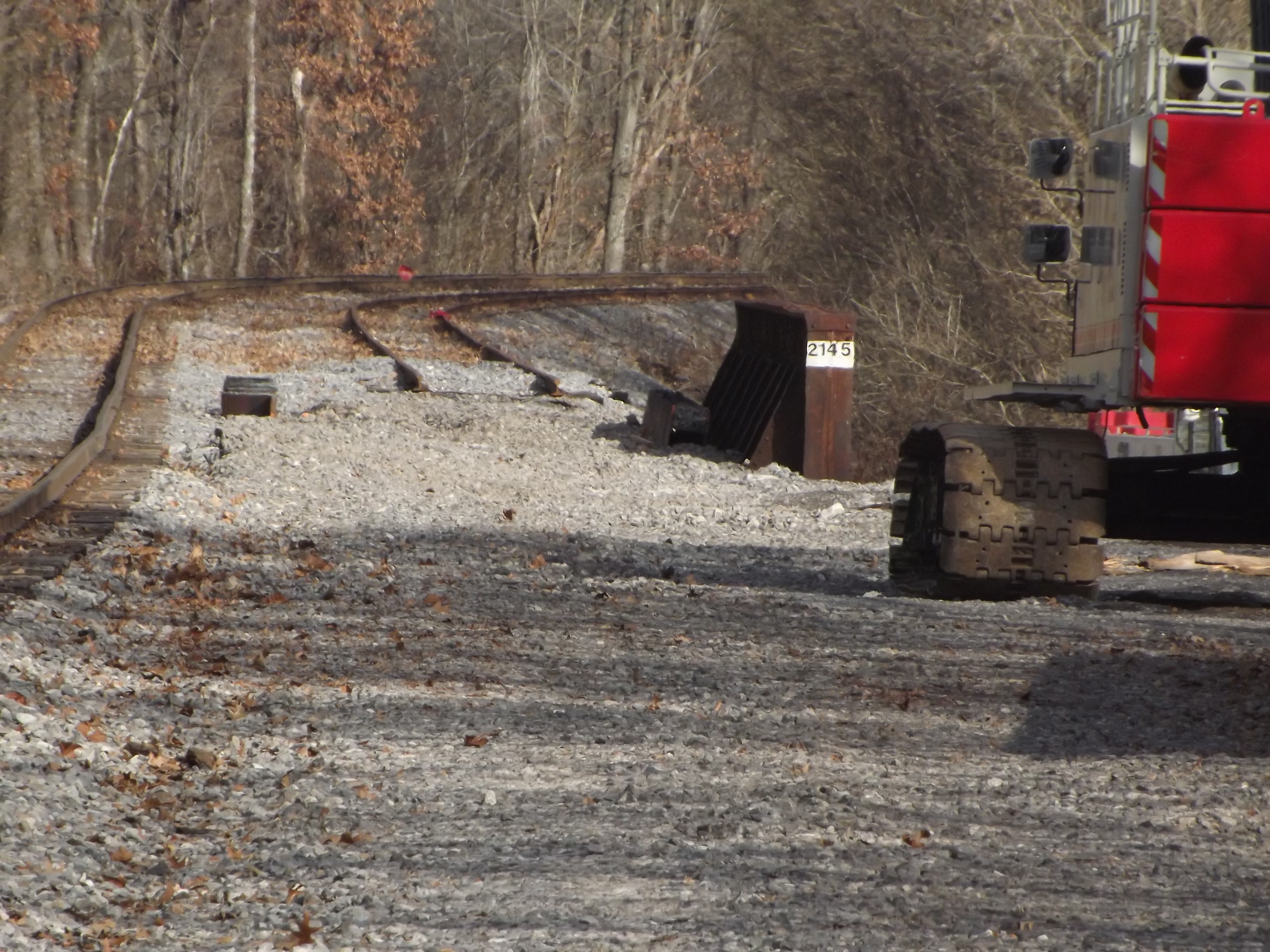
Full zoom showing the work area with the sheet pilings, end of rails, and the distant derail protecting the end of track.
Photo galleries

Looking at the bridge project from the road that goes under the tracks and continues on to Calvert City and CCT

view of both cranes

End of the line, the bridge under the tracks is on the right edge

Crane and pad, note the contractor is Jim Smith contracting, which was owned by one of the PAL's original owners.

looking at the pads on both shores

the other untouched side with the active mainline

stood on some stuff trackside to get this view from the road at the underpass, best view shot I got. Note the sheet pilings between the mains and both bridges.

cut off piling parts, again good use of the zoom as the property between the road and tracks was posted but the lenses had no issue peeking.

The far crane from the road at or near the new road bridge

Old bridge, note the fill and the peer in the water, I don't recall that peer being there before, ether. I wonder if they had a washout here too?

What the normal perspective of the bridge looks like, note the location of the picture is on the new road bridge if your wanting to look for yourself. The far right is the road underpass.

From the only grade crossing in the community, a general view.

Rusty #2 main and the crossing

looking towrds Paducah, I asume that rail is from "the gap"

Were the rail ends I’m not sure, if it ends at the railhead or if the rail continues a bit and is buried under the rock. Note the four "half" width bride sections.

zoomed in a bit to get a better look at the worksite

moderate zoom, showing the half bridge sections and the back of the crane

Full zoom showing the work area with the sheet pilings, end of rails, and the distant derail protecting the end of track.
Photo galleries
Looking at the bridge project from the road that goes under the tracks and continues on to Calvert City and CCT
view of both cranes
End of the line, the bridge under the tracks is on the right edge
Crane and pad, note the contractor is Jim Smith contracting, which was owned by one of the PAL's original owners.
looking at the pads on both shores
the other untouched side with the active mainline
stood on some stuff trackside to get this view from the road at the underpass, best view shot I got. Note the sheet pilings between the mains and both bridges.
cut off piling parts, again good use of the zoom as the property between the road and tracks was posted but the lenses had no issue peeking.
The far crane from the road at or near the new road bridge
Old bridge, note the fill and the peer in the water, I don't recall that peer being there before, ether. I wonder if they had a washout here too?
What the normal perspective of the bridge looks like, note the location of the picture is on the new road bridge if your wanting to look for yourself. The far right is the road underpass.
From the only grade crossing in the community, a general view.
Rusty #2 main and the crossing
looking towrds Paducah, I asume that rail is from "the gap"
Were the rail ends I’m not sure, if it ends at the railhead or if the rail continues a bit and is buried under the rock. Note the four "half" width bride sections.
zoomed in a bit to get a better look at the worksite
moderate zoom, showing the half bridge sections and the back of the crane
Full zoom showing the work area with the sheet pilings, end of rails, and the distant derail protecting the end of track.